

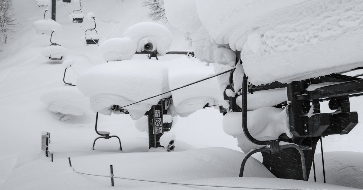
Siberian winds, Niseko powder and an El Niño winter
Frigid Siberian winds travel across the Sea of Japan, soaking up moisture along the way, forming thick clouds. Niseko’s mountains force them skyward, into colder, denser air, forcing them to expel copious amounts of light, feathery powder snow. That pattern drives Hokkaido’s snowfall every winter. It is why the storms roll in off the sea day after day, night after night, through the heart of the season, and why most mornings bring fresh snow on top of yesterday’s.
It’s the reason we live here, why pro athletes and ski industry media teams return year after year, and it’s likely why you’re reading this story: to find out what this “super El Niño” could mean for your plans, and what an El Niño winter in Niseko really looks like.
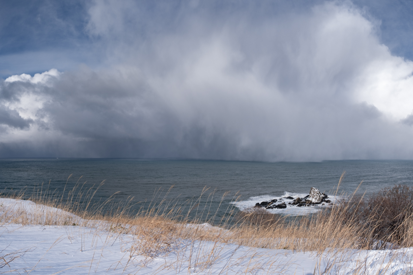
This is where El Niño comes in. A warm Pacific tends to weaken the East Asian winter monsoon, the flow of Siberian air that builds these storms. That can mean fewer cold outbreaks and more mild spells, which is why El Niño winters in Japan often run warmer, and why western Japan tends to feel it most. It is a tendency, not a rule: research from Kyushu University found that El Niño years can bring cold winters too, depending on how the event develops. Hokkaido sits furthest north, closest to the source of the cold air.
This winter, a record El Niño is forecast, and the headlines are already asking whether Japan’s snow will hold. No one can say for certain what this winter will bring, but the answer may live on the mountain. In the last strong El Niño, Niseko’s slopes collected 11.9 m (39 ft) of snow.
Here is what El Niño does, what it doesn’t, and what we saw from the chairlifts, skin tracks and sleds.
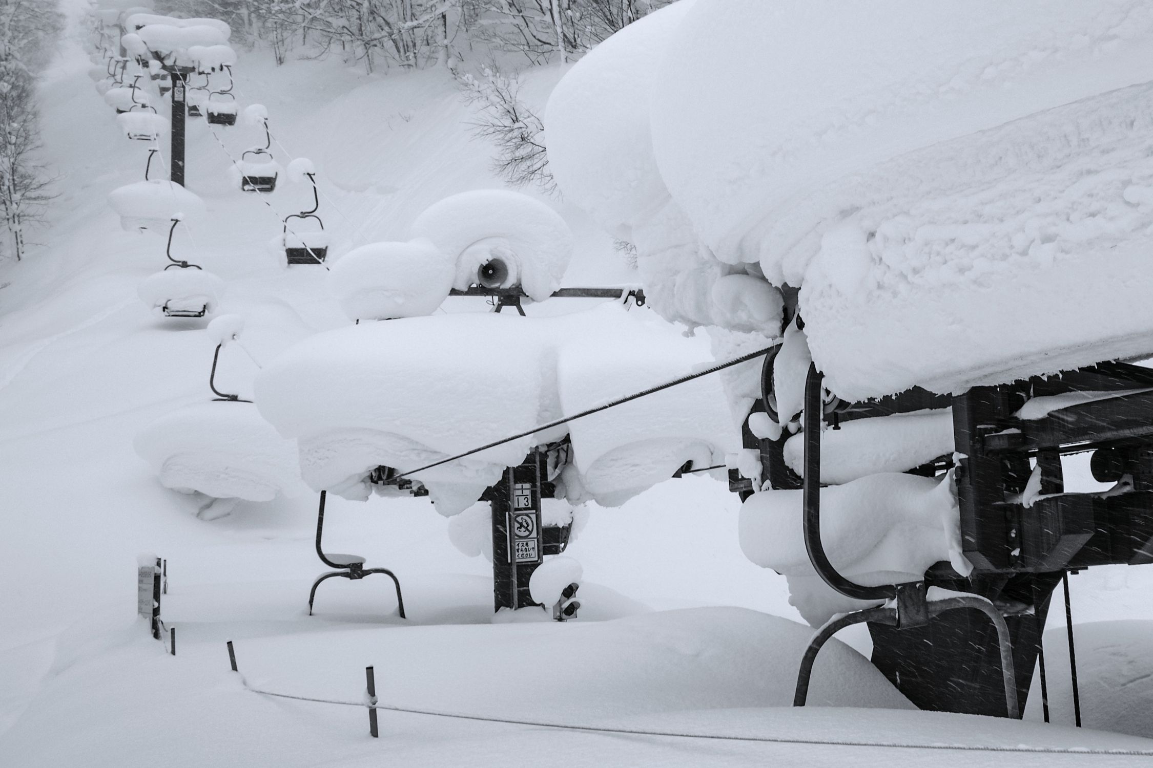
A buried lift.
On the mountain, El Niño winters still deliver
Niseko United measures snowfall at mid-mountain every season. Over the last 13 seasons, the slopes have averaged 13.5 m (44 ft).
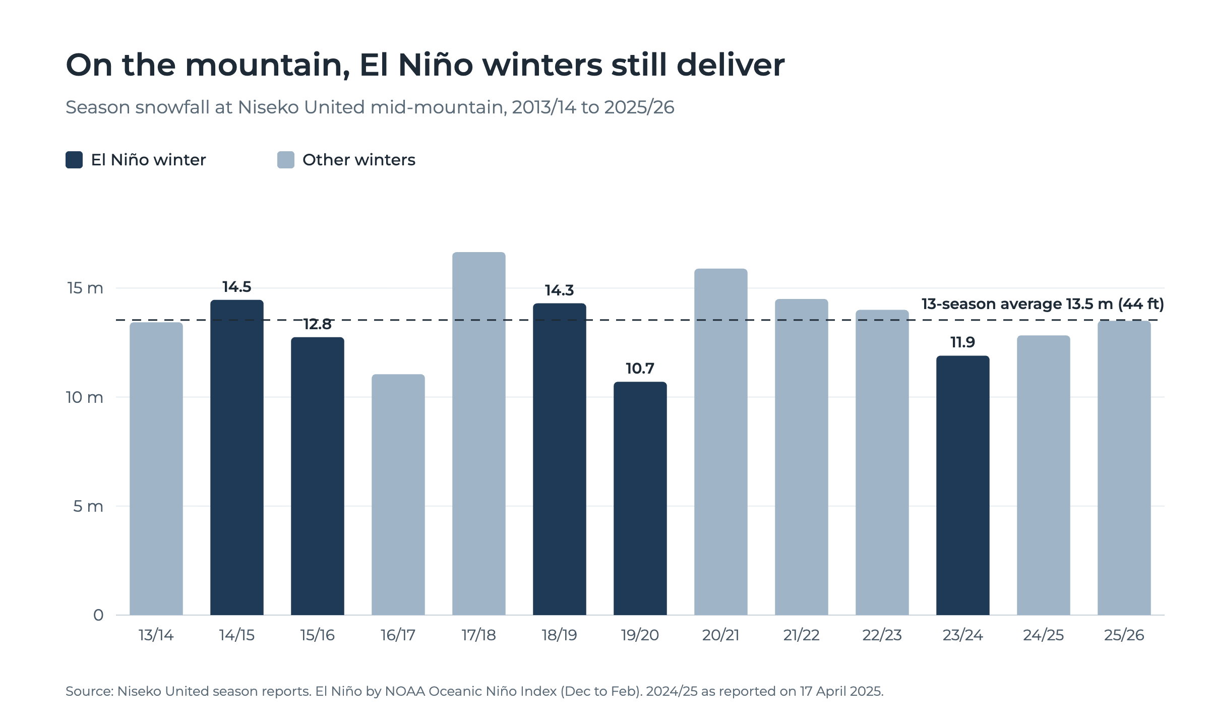
The five El Niño winters in that run averaged 12.8 m (42 ft) on the mountain, against 14.0 m (46 ft) in the others. A dent, and a real one, of a little over a metre. It is also a winter that would be the envy of most of the ski world. The leanest season on the chart, 2019/20, brought 10.7 m (35 ft) to the slopes.
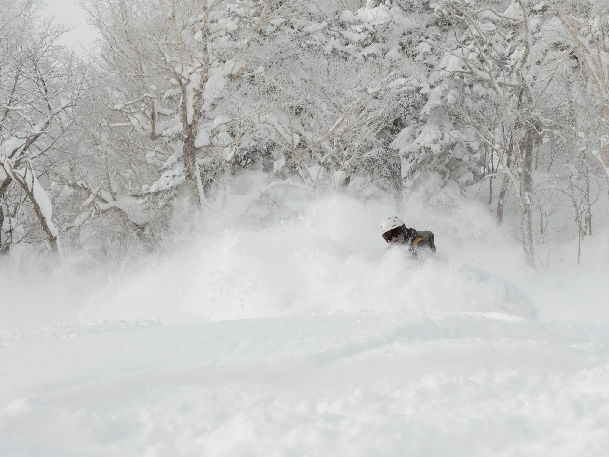
8 January 2024, Furano.
Inside the last strong El Niño
2023/24 is the closest guide to the winter ahead: the most recent strong El Niño, and one our team spent on the snow.
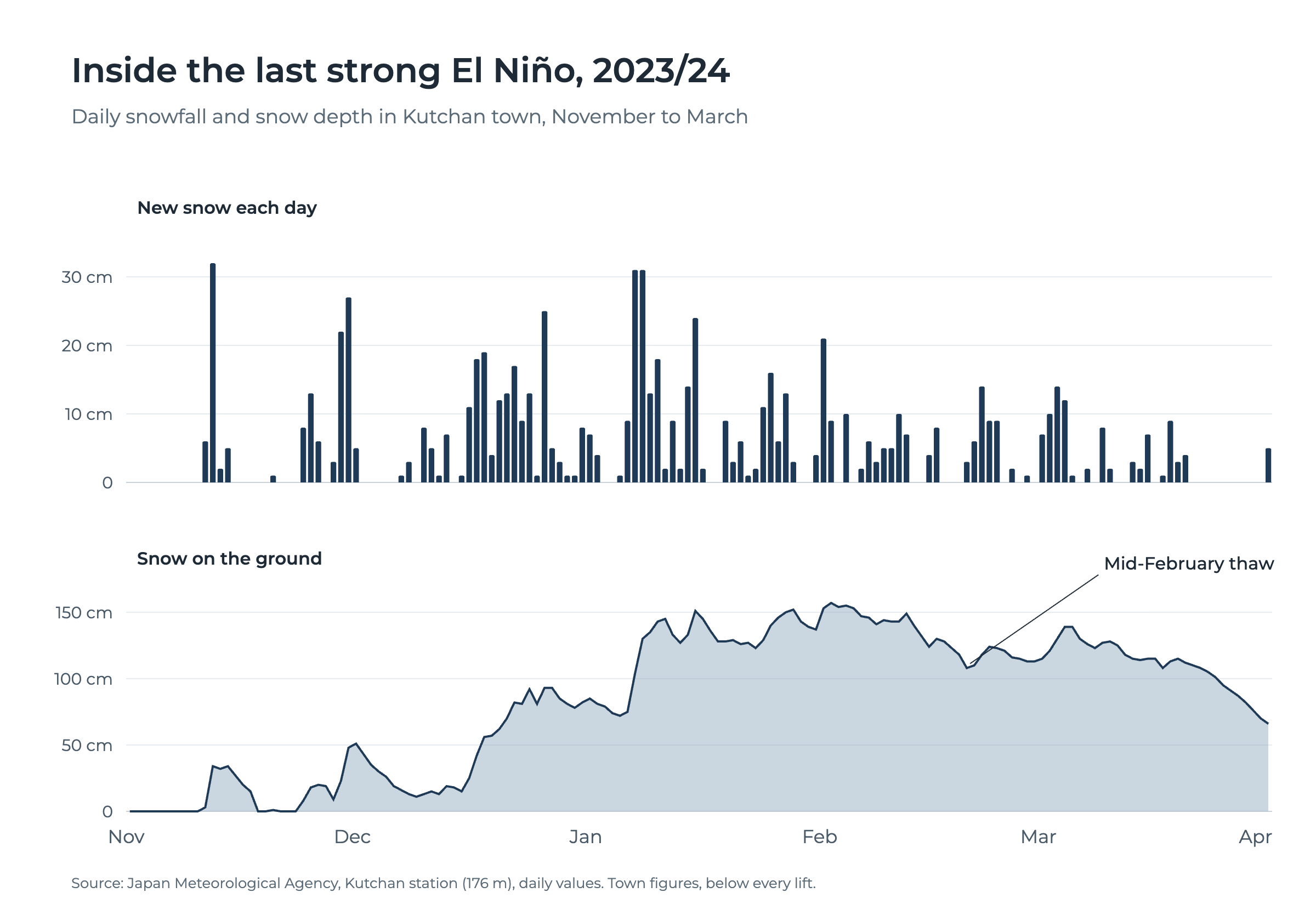
It started slowly. Then, in mid-December, the Siberian winds switched on and stayed on. From 17 December to 17 January, 6.6 m (22 ft) of snow fell on the mountain, an average of more than 20 cm (8 in) a day for a month. In town, 93 cm (37 in) landed in the four days to 10 January alone.
70 cm in 24 hours, in the middle of a strong El Niño
On 7 and 8 January 2024, 70 cm (28 in) of snow fell on Niseko’s slopes in 24 hours. The trees bent under it, the tracks filled in behind every turn, and the mountain went quiet the way it only does in deep snow. That was the heart of 2023/24, the strongest El Niño winter in eight years.
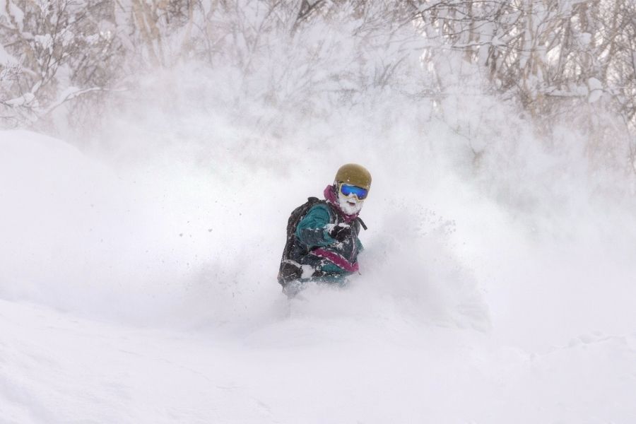
9 January 2024, Niseko. The morning after 70 cm (28 in) fell on the mountain in 24 hours.
The cold held into February. On the 1st and 2nd, another 30 cm (12 in) fell in town, and on the 2nd the temperature in the valley never rose above -5.6°C (22°F).
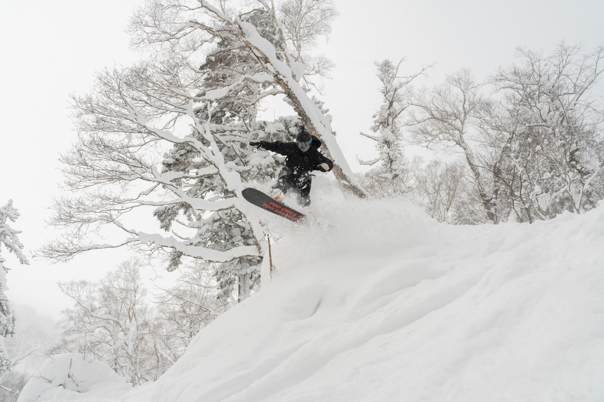
1 February 2024, beyond Niseko.
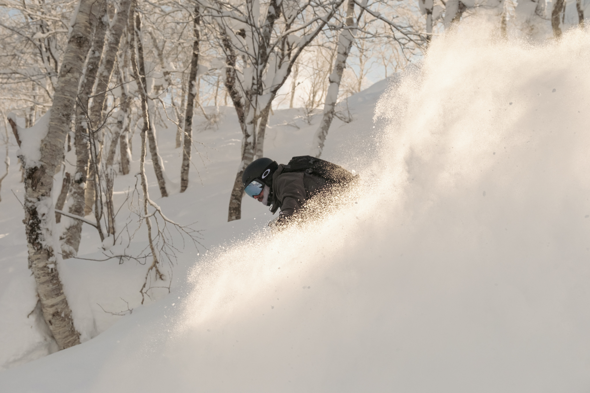
5 February 2024, Rusutsu.
Then came the week El Niño is known for. In mid-February a warm spell pushed the town to 13.1°C (56°F), and the snowpack in the valley settled by about 40 cm. You can see it on the chart as the dip in the line. It did not last. 32 cm (13 in) fell over the next four days, the temperature dropped to -17°C (1°F), and the trees were full again.
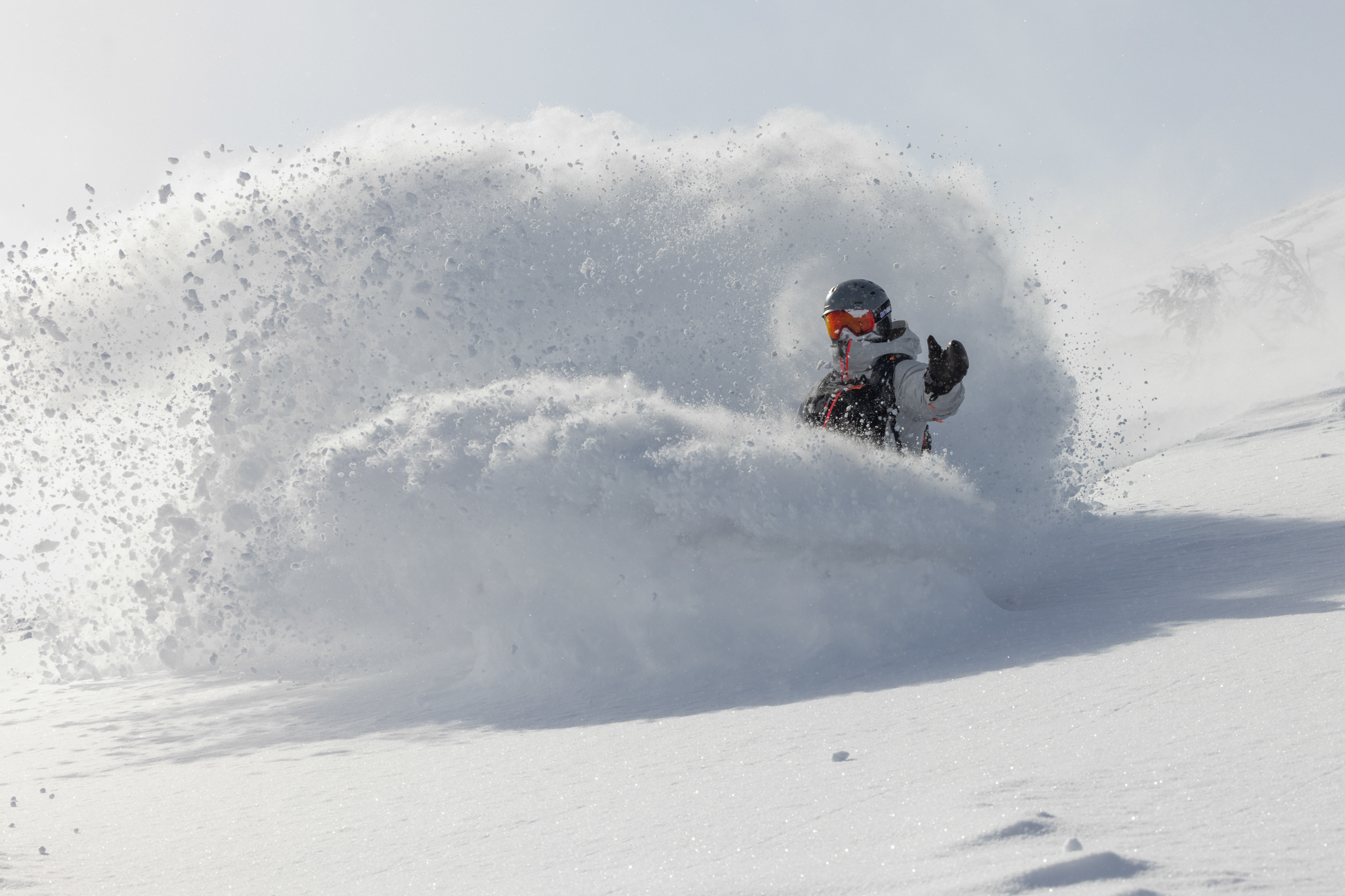
24 February 2024, Niseko. Five days after the thaw, and -17°C (1°F) in town that morning.
The season closed with 11.9 m (39 ft) on the mountain. Under the 13.5 m average, and a winter full of days like these.
The leanest winter on record, and the guide’s call
2019/20 was a weak El Niño winter, and the leanest ever measured in Kutchan: 6.85 m (22.5 ft) of snow in town, the lowest in 73 winters of records. On the mountain, 10.7 m (35 ft).
On 11 February 2020, Niseko received 3 cm (1 in) of new snow. So we went elsewhere.
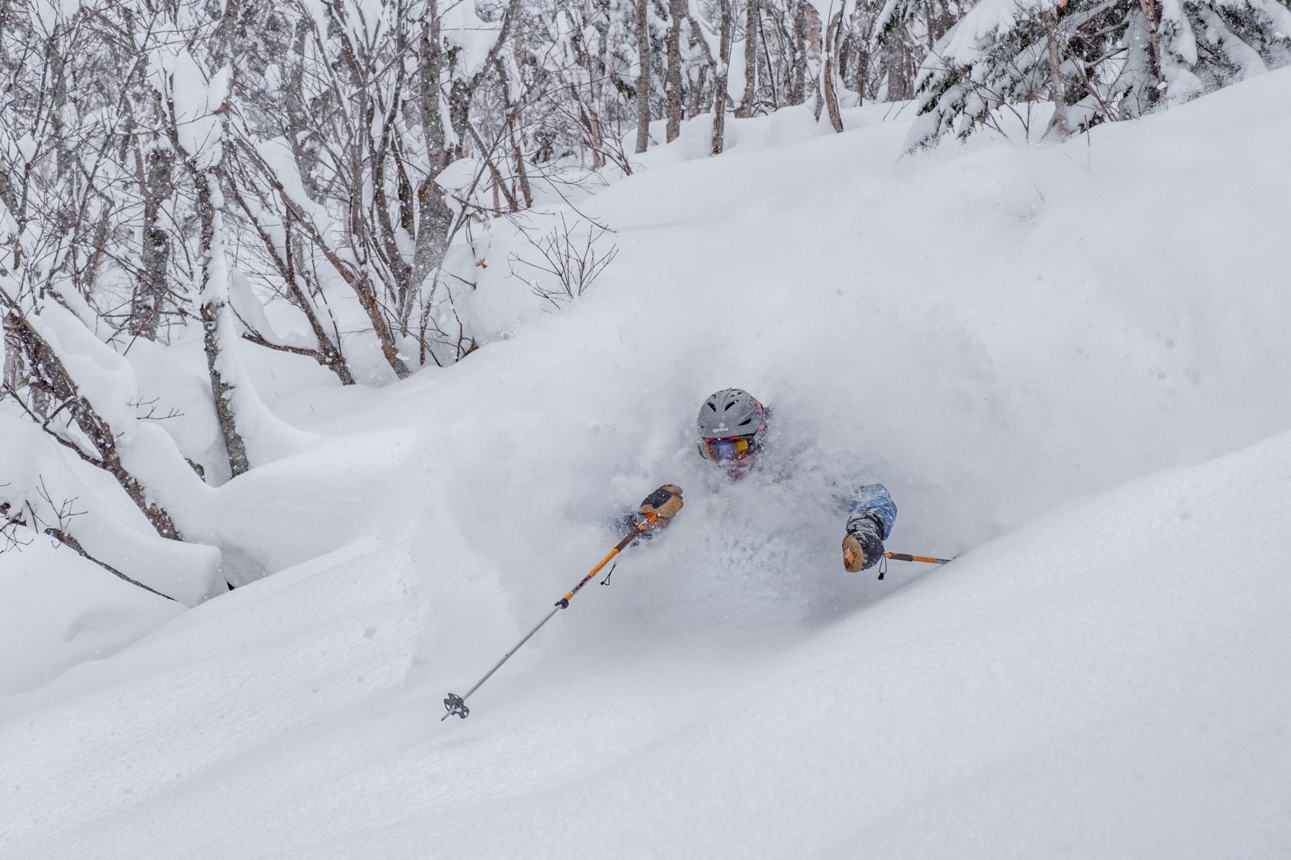
11 February 2020. 3 cm (1 in) in Niseko. 45 minutes away, a very different morning.
Snow in Hokkaido rarely falls evenly. A shift in the wind can bury one valley and leave the next with a dusting. Reading that before first chair, and making the call on where the day goes, is what a guide is for. Even in the leanest winter in the record, the deep days were there for the taking.
Seventy-three winters, and the snow days keep coming
The Japan Meteorological Agency’s snow record for Kutchan, the town at the base of Niseko, runs back 73 winters. It tells the same story at the valley floor.
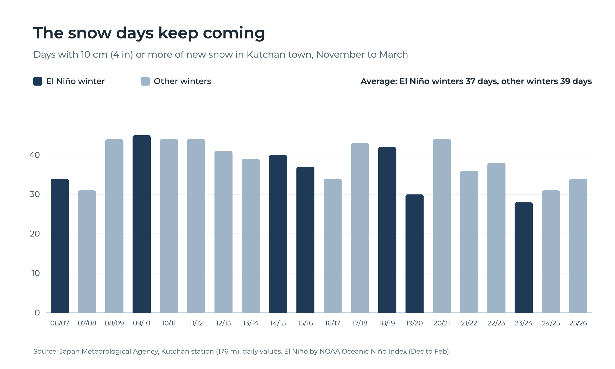
Over the last 20 winters, El Niño winters averaged 37 days with 10 cm (4 in) or more of new snow in town, against 39 in other winters. That is roughly one day in four, from November to March, in the valley below every lift.
Across all 73 winters, El Niño seasons in town have averaged 1,148 cm (452 in) of snow, against 1,151 cm (453 in) overall. The three snowiest winters ever measured in Kutchan, led by 20.2 m (66 ft) in 1969/70, were all El Niño winters. All three were weak events, so the lesson is not that El Niño brings more snow. It is that El Niño does not decide a Hokkaido season.
What it means for your winter
Nobody can tell you in November what a single winter will bring, and we will not pretend to. What the record shows, and what we have seen on the ground, is that the snow comes in El Niño years, in La Niña years and in everything between.
Our advice: book the trip
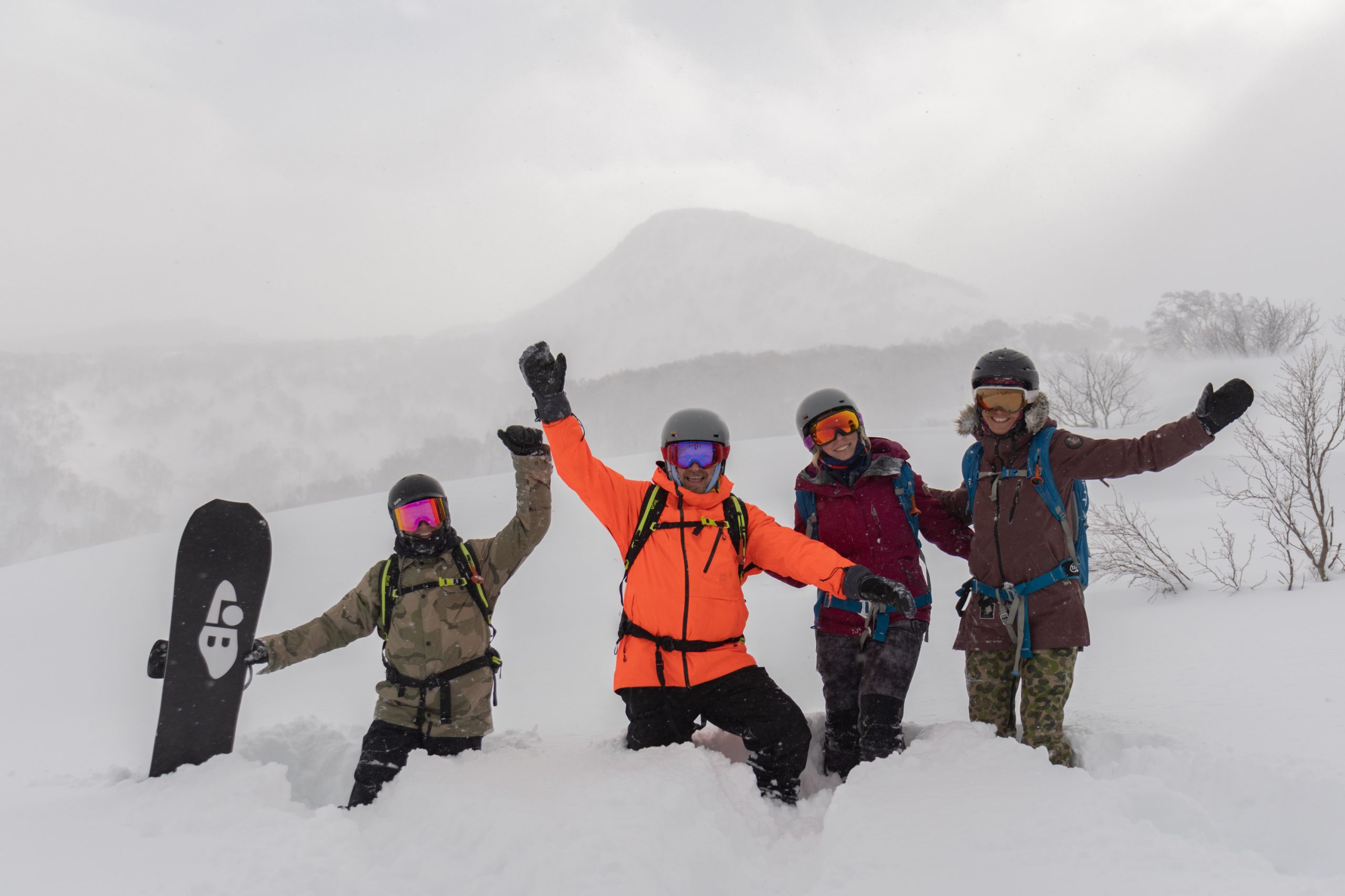
What shapes your days is local knowledge and real-time adjustments. On any given morning, the best snow in Hokkaido is somewhere specific: a sheltered zone of trees after a windy night, a leeward face that filled in while you slept, a resort 45 minutes away that caught the storm Niseko missed. Knowing where it is, and when, is what turns a good trip into a great one. Your guide reads the overnight snowfall, the wind and the aspect before first chair, then takes you straight to it.
Book your guided days
Share your dates, your group and the way you love to ride, and we will come back with availability and the right guide for the conditions.
Plan your Hokkaido trip
Guided days are one part of the journey. We design the rest around them: accommodation, transfers, dining and days beyond Niseko, across Hokkaido. Tell us how you want the winter to feel, and we will build it from there.
Start planning your journey
Frequently asked questions
Does El Niño mean less snow in Japan? It can trim it. El Niño tends to weaken the Siberian winds that build Japan’s snow, and western Japan feels that most. In Niseko, El Niño winters have averaged 12.8 m (42 ft) on the mountain over the last 13 seasons, against 14.0 m (46 ft) in other winters.
How much snow fell in the last strong El Niño? 2023/24 brought 11.9 m (39 ft) to Niseko United’s mid-mountain, including 6.6 m (22 ft) in the month from 17 December to 17 January.
What was the leanest recent winter in Niseko? 2019/20, a weak El Niño winter: 10.7 m (35 ft) on the mountain and 6.85 m (22.5 ft) in Kutchan town, the lowest town total in 73 winters.
How much snow does Niseko get in an average year? Niseko United’s mid-mountain has averaged 13.5 m (44 ft) over the last 13 seasons, which places Niseko among the snowiest ski destinations on earth.
Why is Hokkaido snow so light? Frigid Siberian air picks up moisture over the Sea of Japan and drops it as snow when the mountains force it skyward. Snow that forms and falls in that cold air stays dry and light, which is what gives Hokkaido powder its feel.
When is the next El Niño forecast update? NOAA’s Climate Prediction Center publishes its next update on 12 November 2026.
Curious? On the fence? Get in touch.
Sources
Niseko United, 2023/24 season snowfall
Niseko United, 2013/14 to 2019/20 season snowfall
Niseko United, 2020/21 and 2021/22 season snowfall
Niseko United, 2022/23 season snowfall
Niseko United, 2024/25 season snowfall
Niseko United, 2025/26 season snowfall
Japan Meteorological Agency, Kutchan annual data
Japan Meteorological Agency, Kutchan daily data
Japan Meteorological Agency, Japan’s weather during El Niño events
NOAA Climate Prediction Center, ENSO Diagnostic Discussion, 8 October 2026
About the Author: Sea and Summit Collective is a travel | guiding | media | destination marketing company based in Niseko, Hokkaido. Our team are long-term locals with deep knowledge of the region across every season. Everything we offer is either delivered by our in-house team of guides and creatives, or personally vetted by us on the ground in Hokkaido.